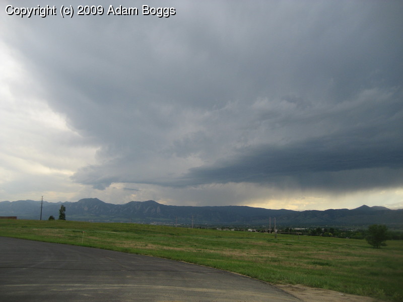
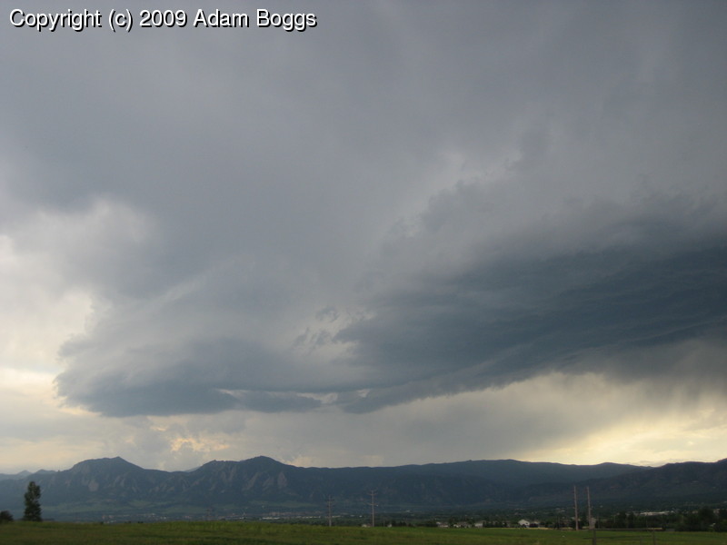
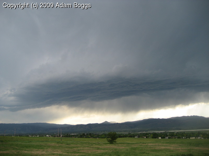
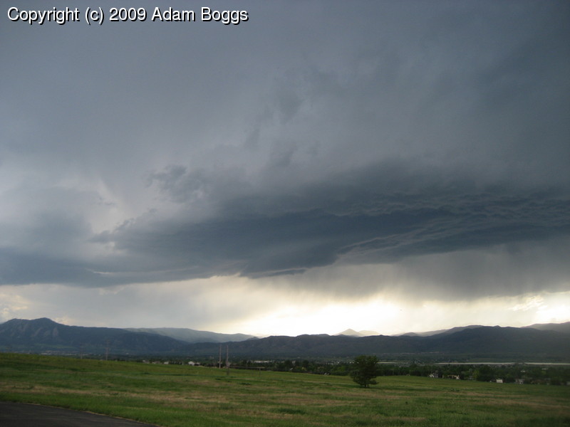
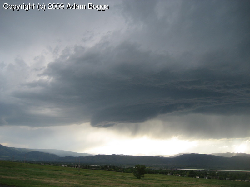
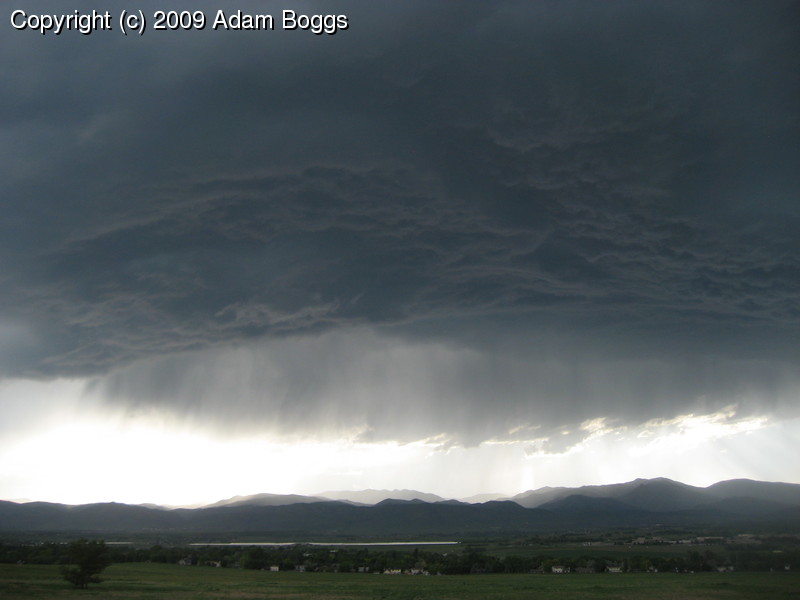
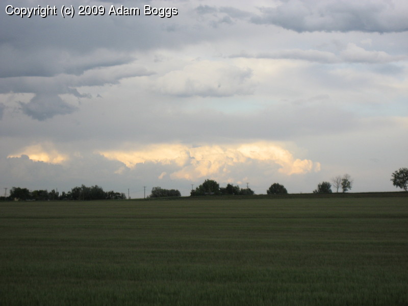
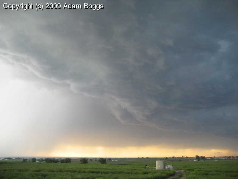
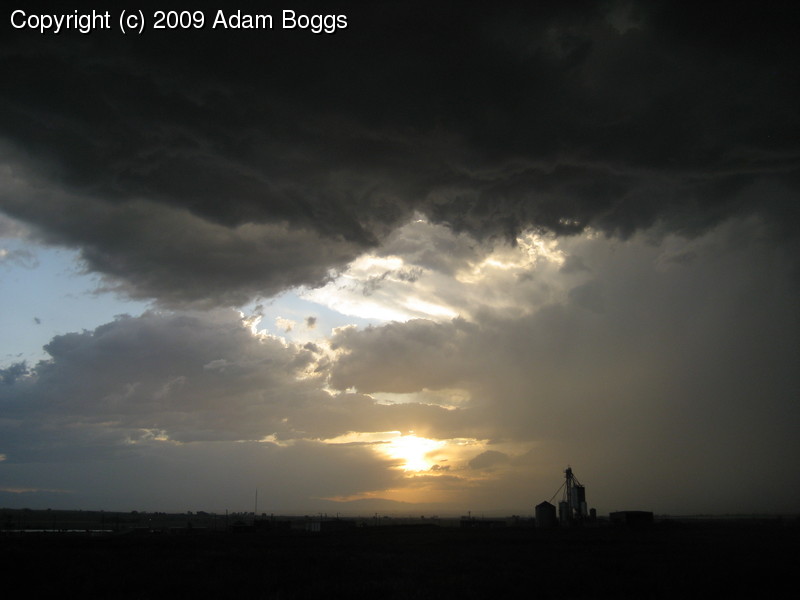
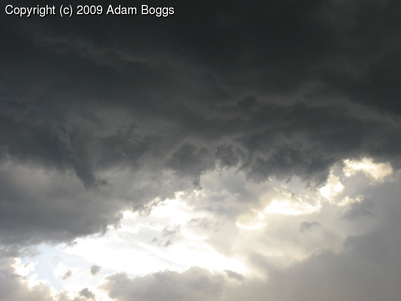
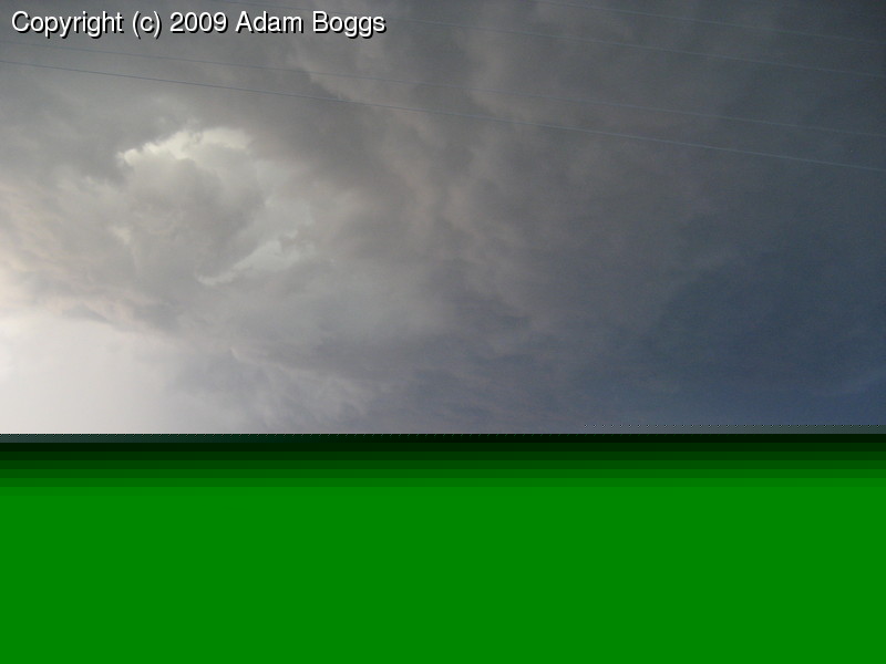
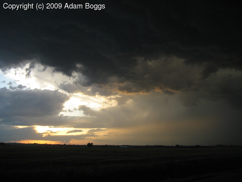
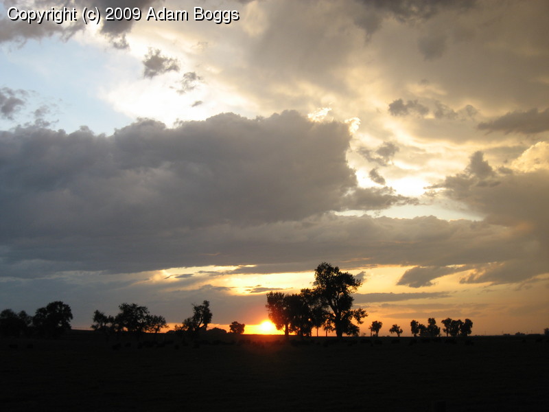
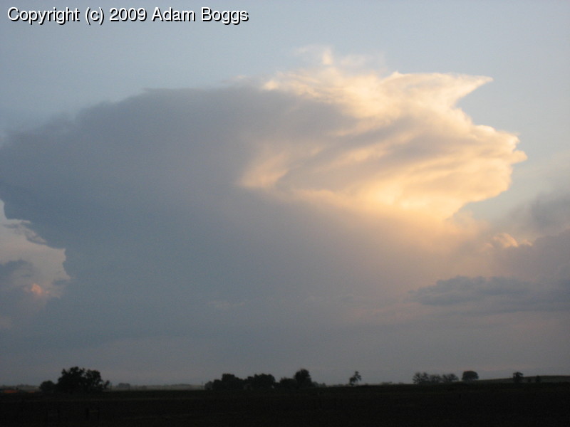
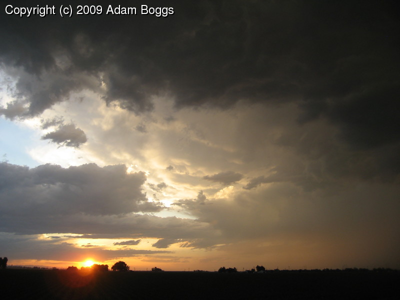
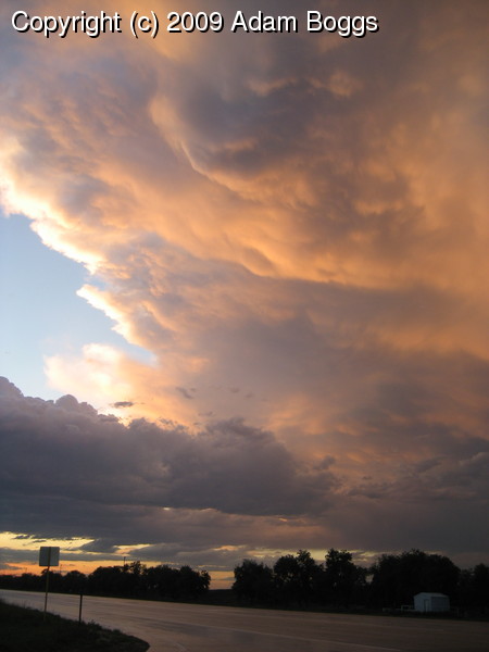
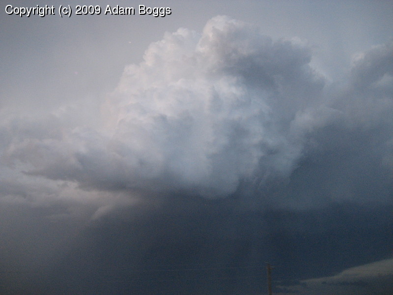
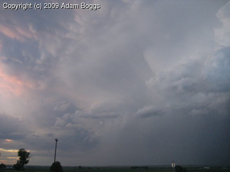
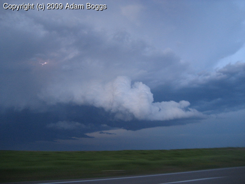
A tornado watch issued late in the day took me by surprise today. I was stuck getting new tires put on my car (always good when driving hundreds of miles on bumpy dirt roads) so I couldn't get out until late. An early cell blasted out east and was severe warned for several hours. A second cell developed and was headed up by Greeley by the time I got home. I hemmed and hawed over whether it was worth chasing after. I finally decided to go out and see what was happening. I drove to the top of the hill by my house and saw another cell developing over the mountains. I decided to watch it for a while and it seemed to be developing nicely as it headed over Boulder, with a defined updraft base, offset downdraft, and hail. I started chasing it and it shortly thereafter became severe warned.
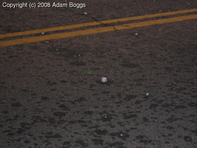
The storm ultimately produced half-dollar sized hail, and I even took a small beating from a few quarter size hail stones. Imagine someone taking a rock and hucking it as hard as they can at your car. It's loud.
Continued testing my storm chase software and found a critical bug.
I noticed when I got home that my GPS log was truncated, and appeared to
have an HTML header at the point where it stopped logging. I believe
there is some crossed file descriptors and my SpotterNetwork update
ended up going to my log file instead of the network socket. So, the
gps map for this trip was captured from my SpotterNetwork updates.