With this storm there were 3 main complexes (if I'm using the word correctly) that formed today... one north by cheyenne and fort collins, one south by pueblo, and one east by Limon. We decided to chase after the one to the east. It was a decent severe TS but no tornado warnings issued for it. Looks like they did issue some on the south storm based on radar but no confirmed tornadoes.
We headed east on I 70 to hwy 36 (where 70 jogs south) and kept going east on 36 basically to kansas. We ended up punching through the north side of the storm and experienced HEAVY rains, flooding, extensive lightening <1/2 mile, and some small (gravel size) hail. I noted that even small hail decreases visibility dramatically due to the fog it generates on the ground.
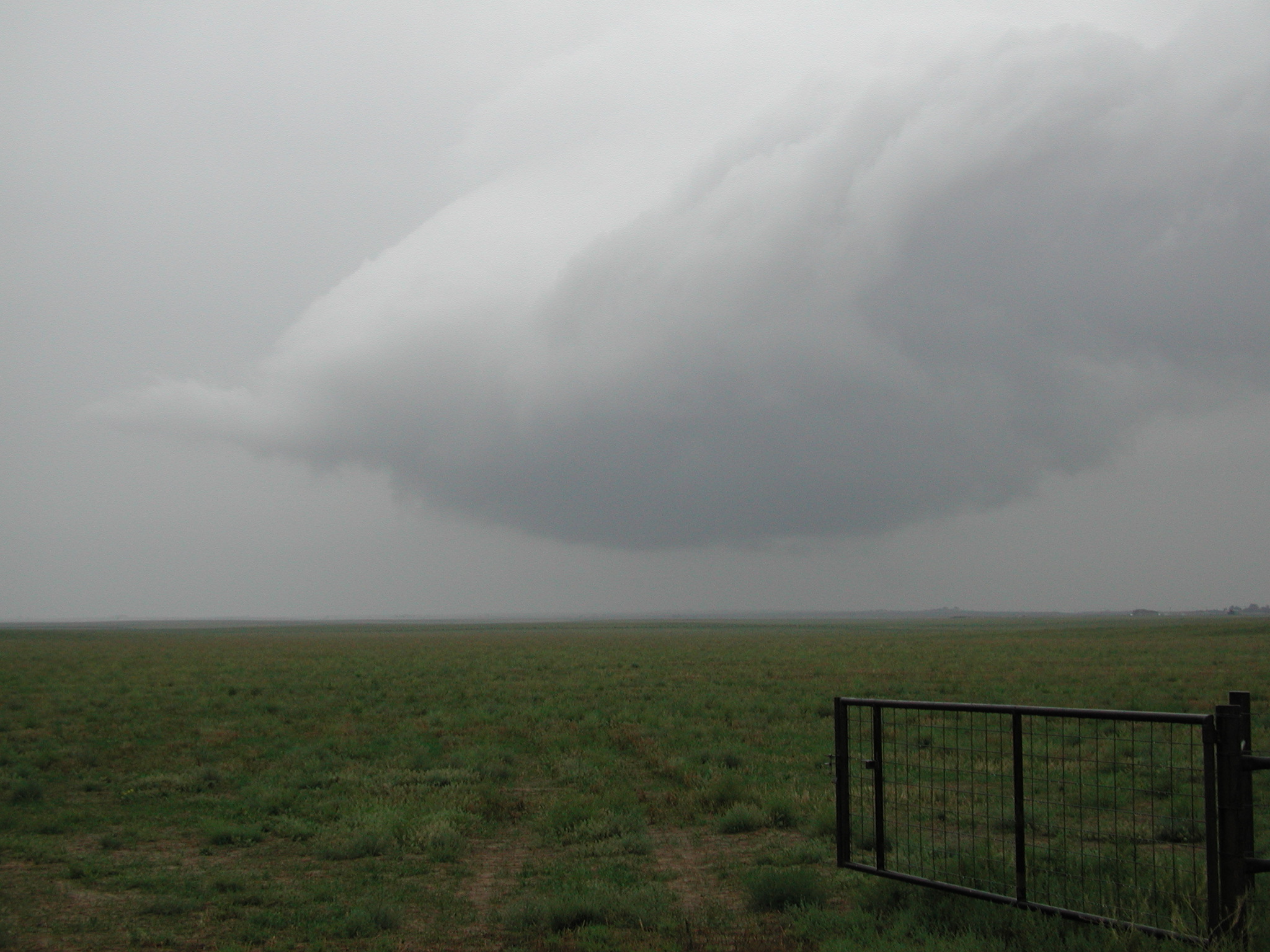
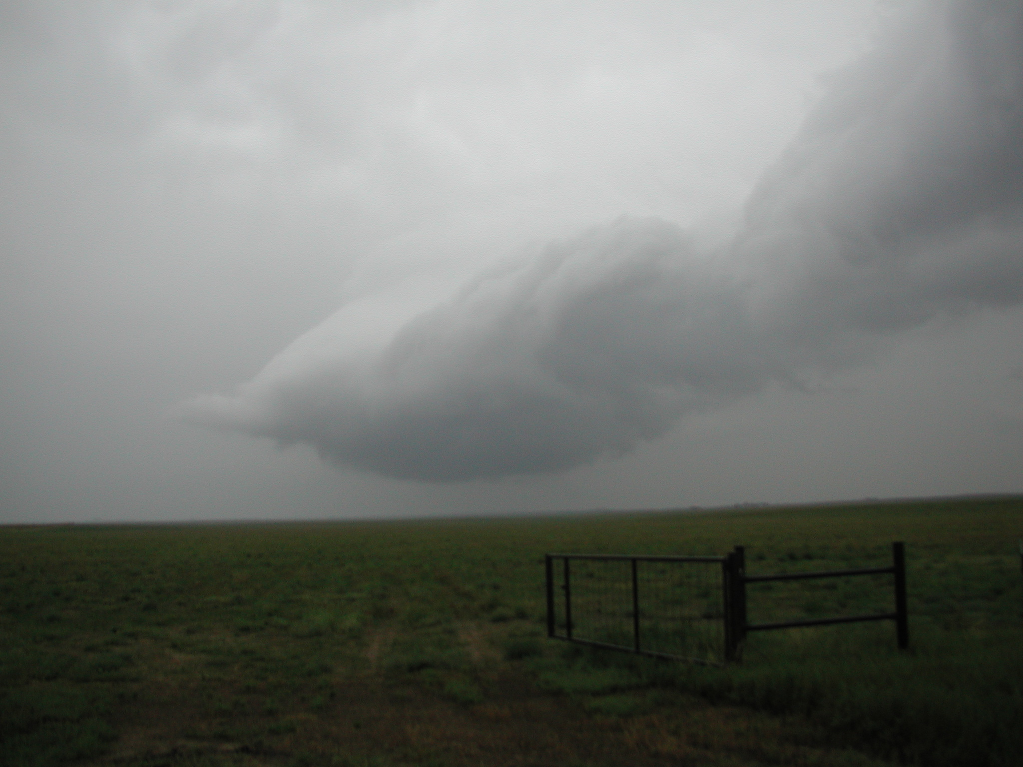
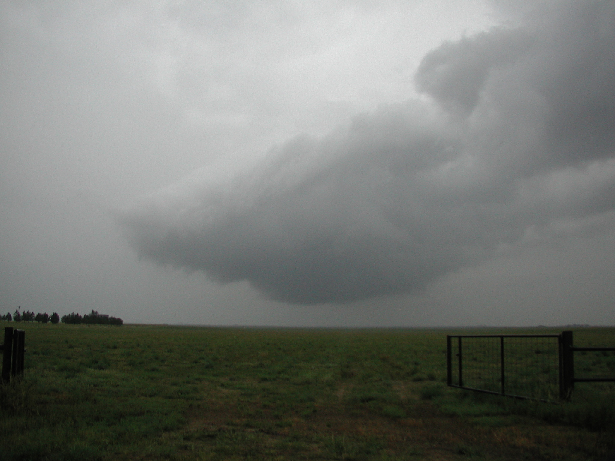
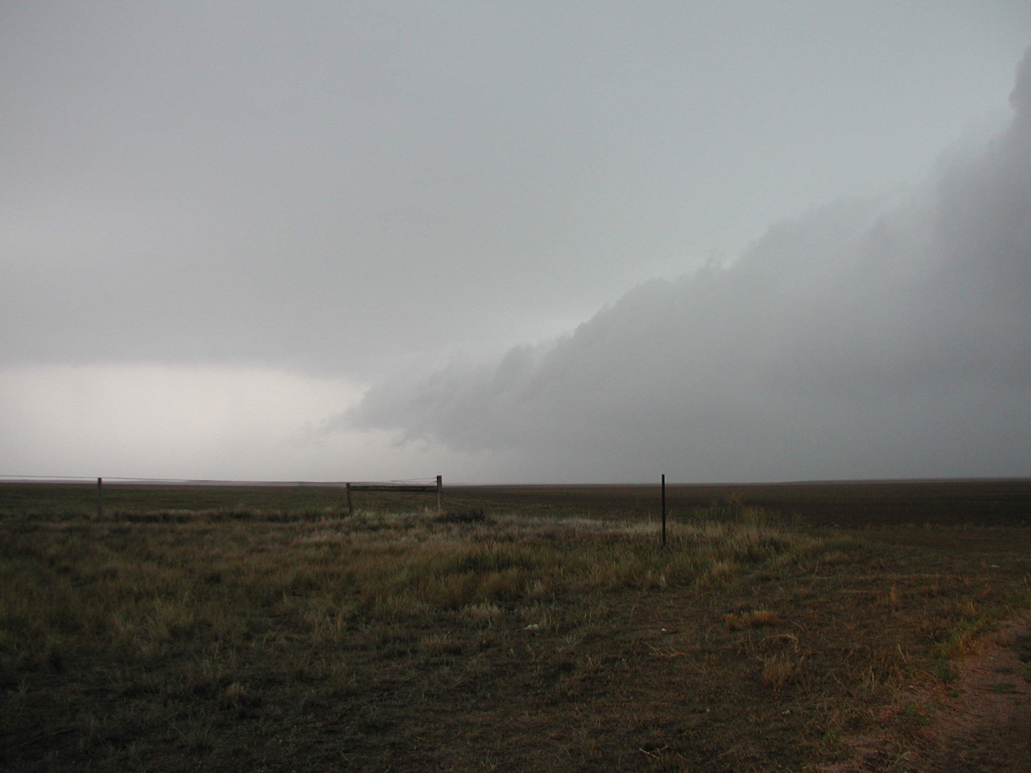
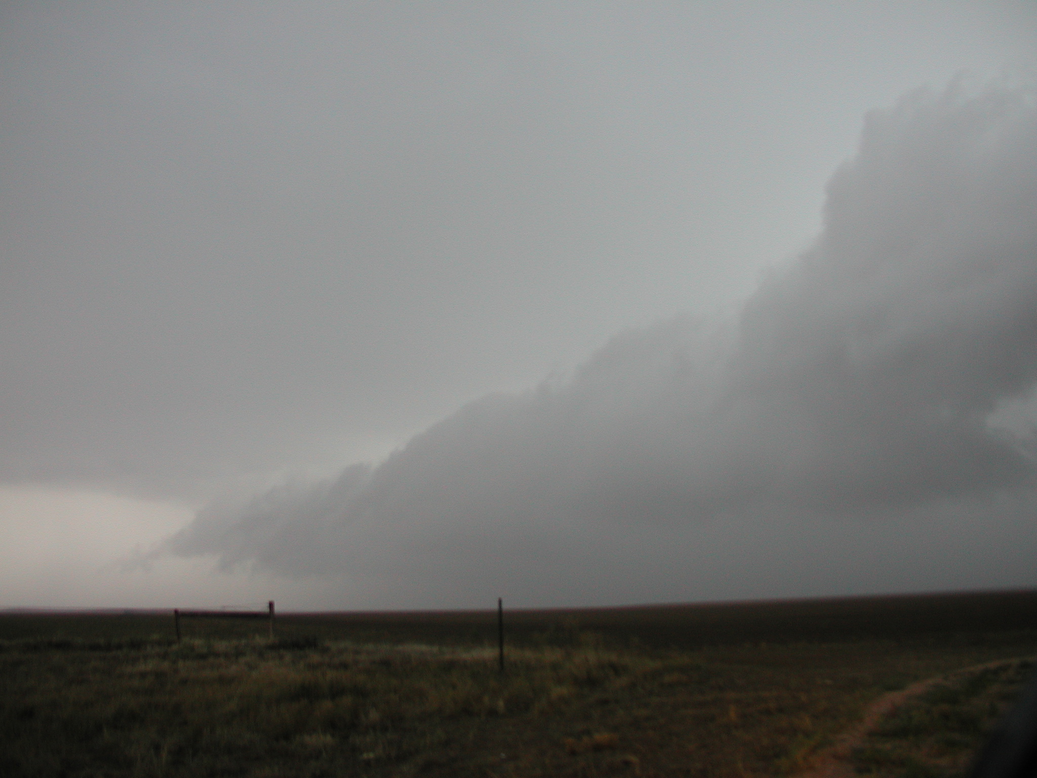
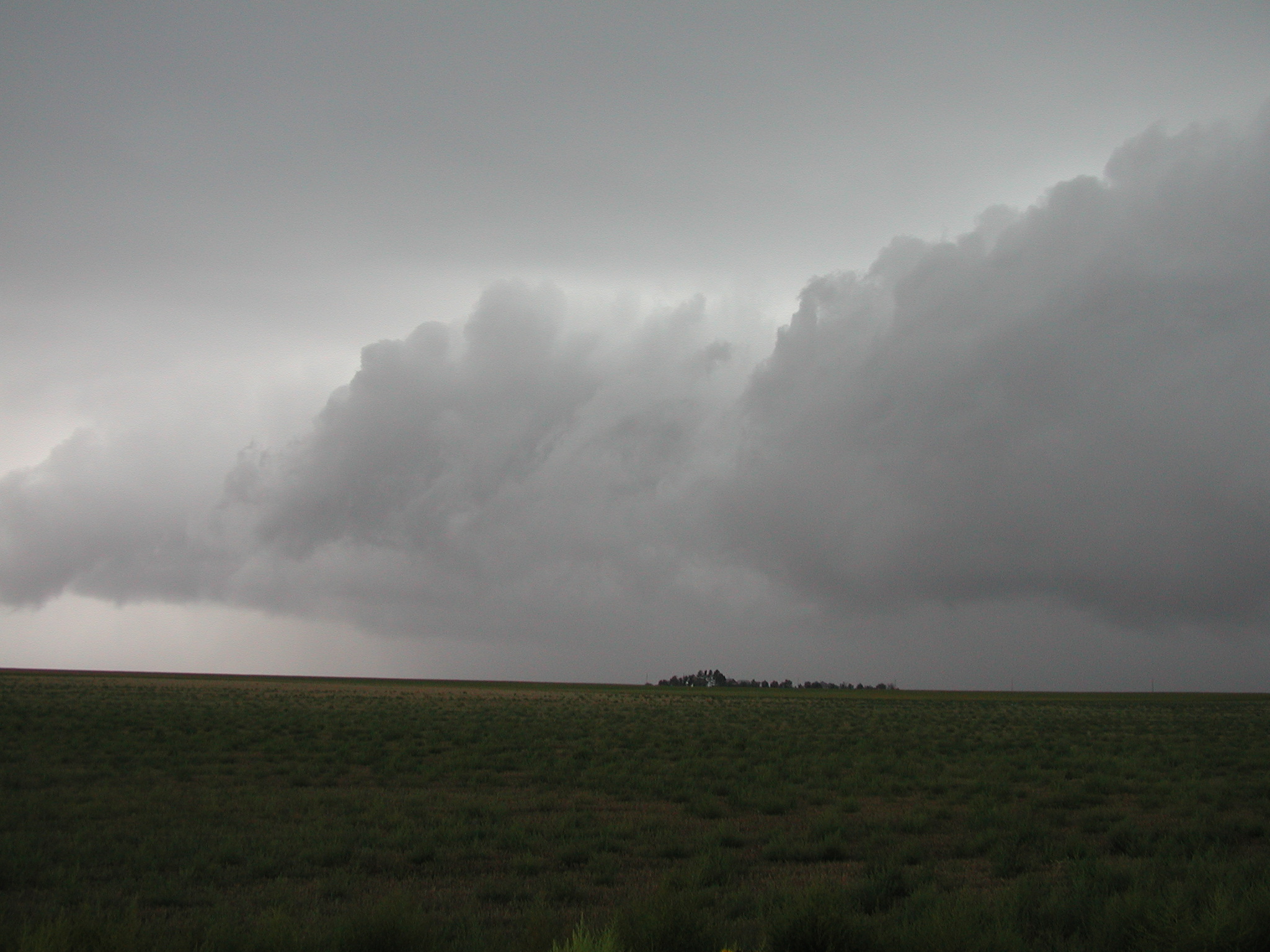
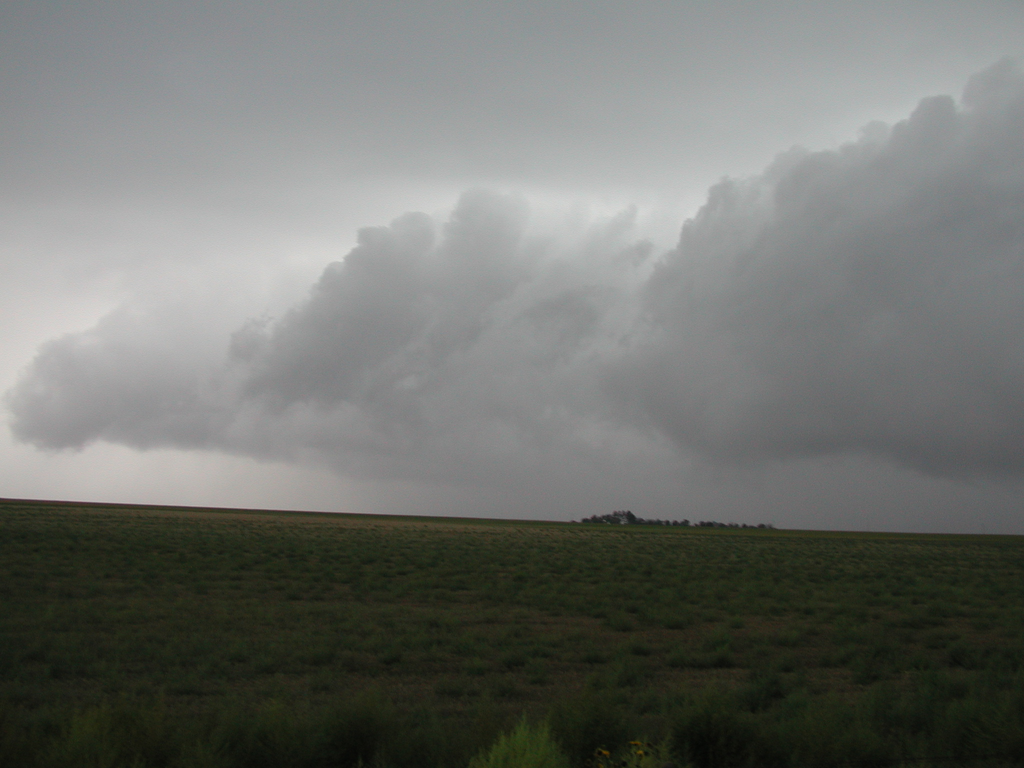
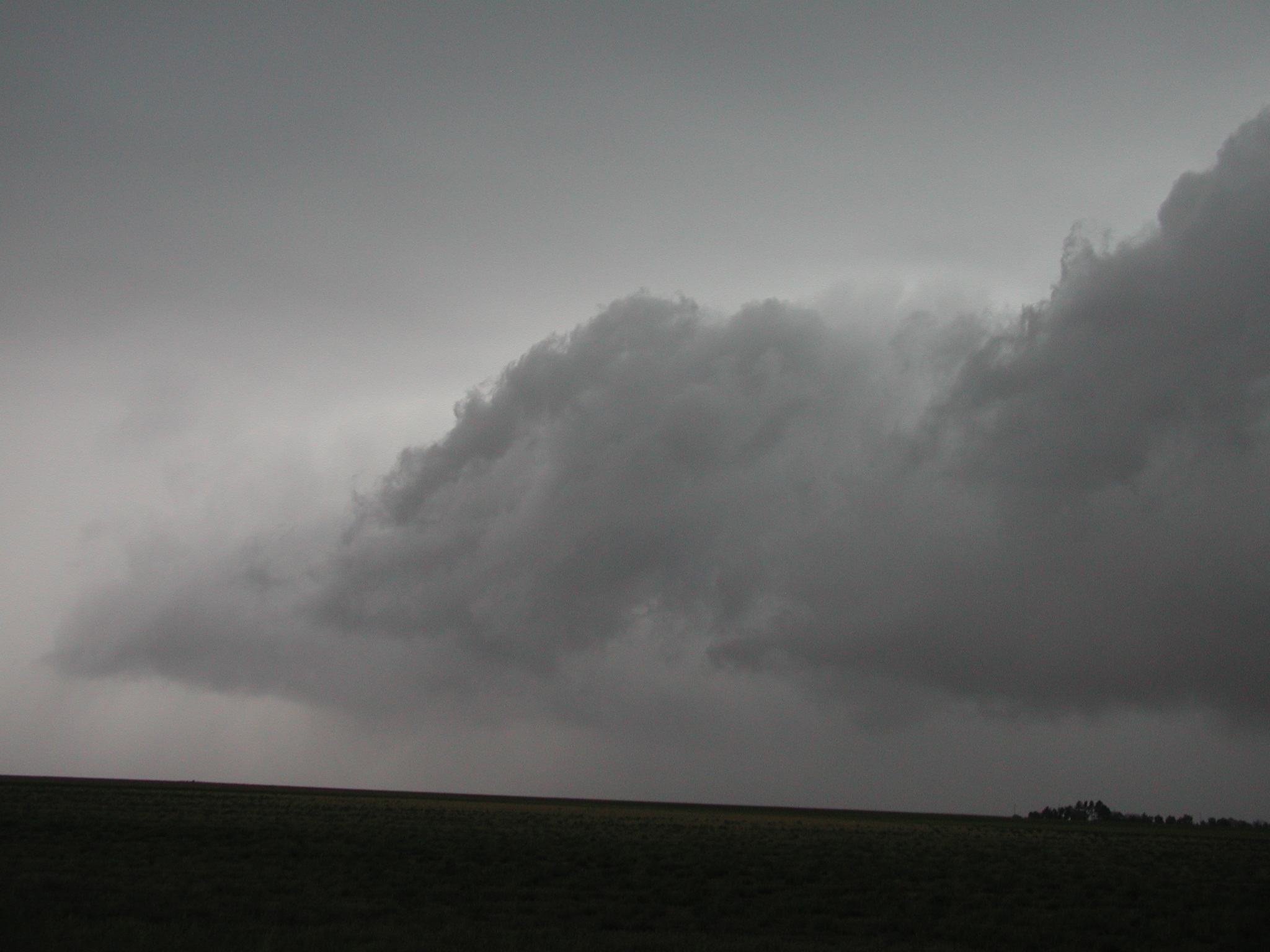
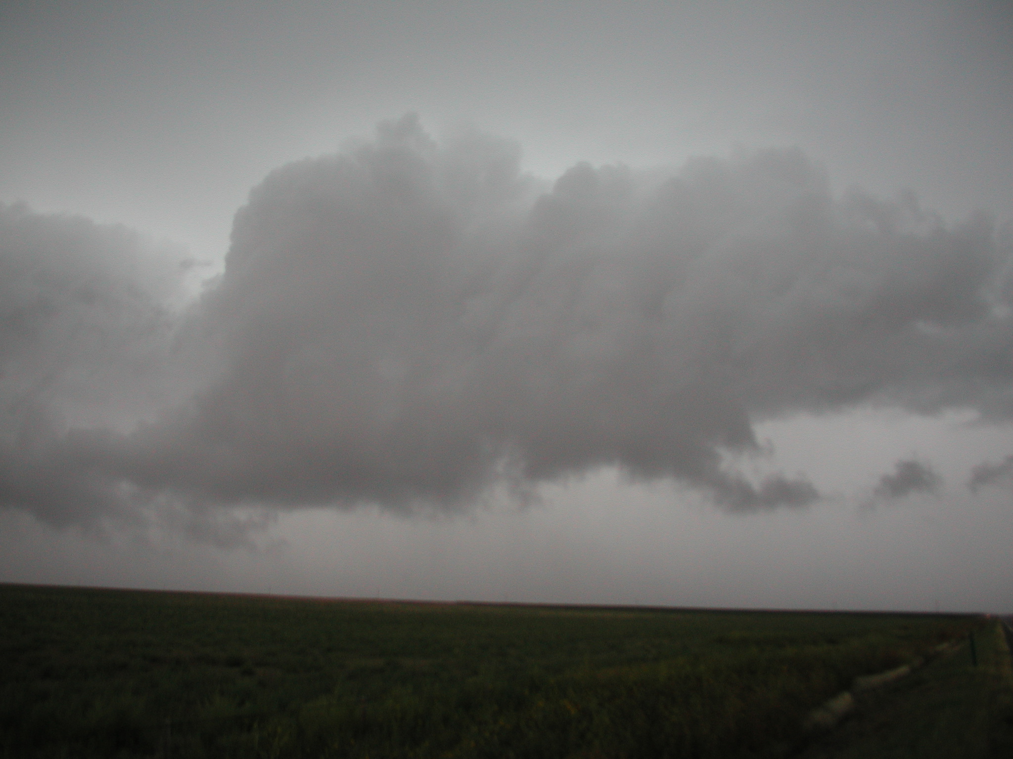
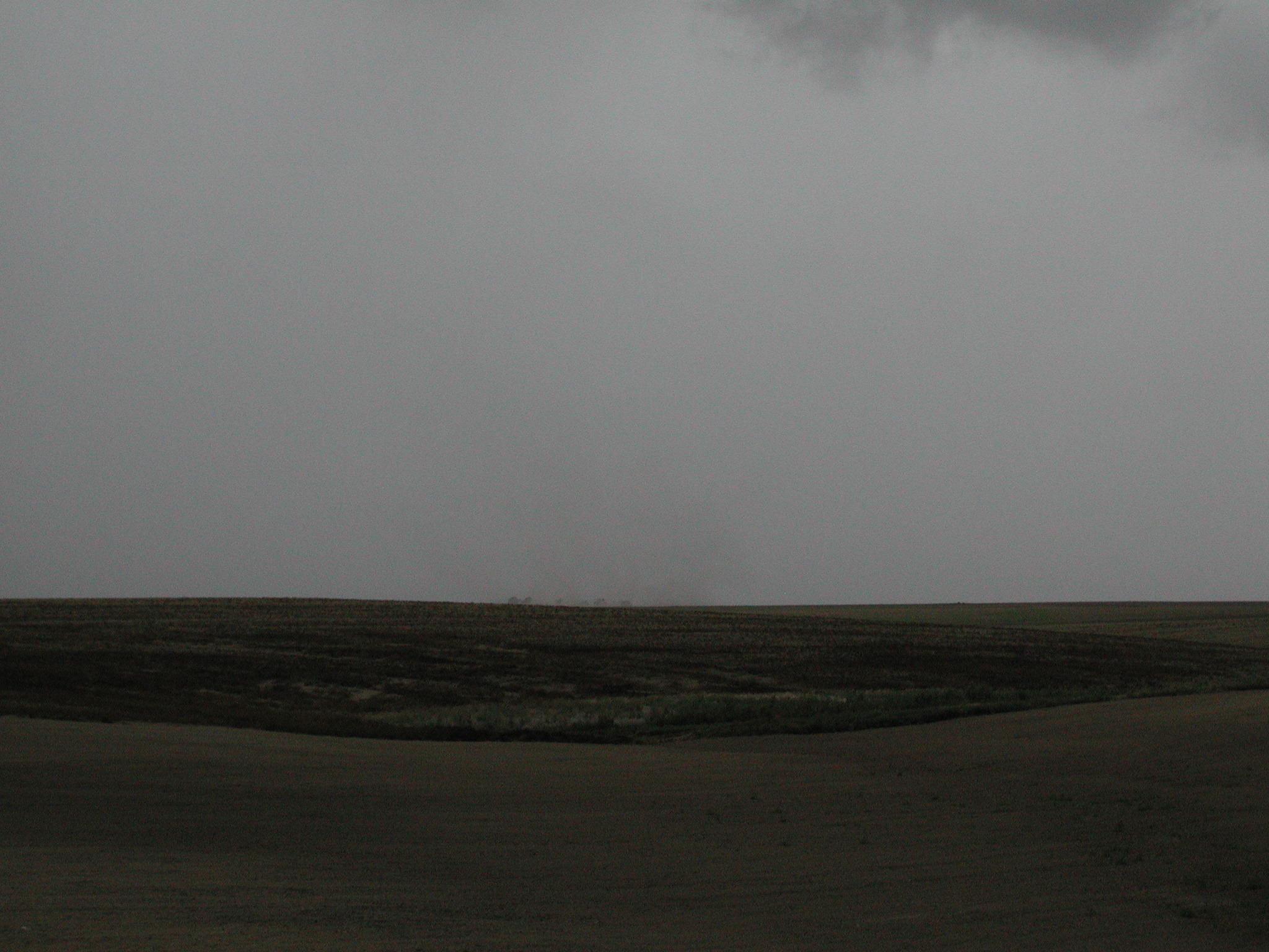
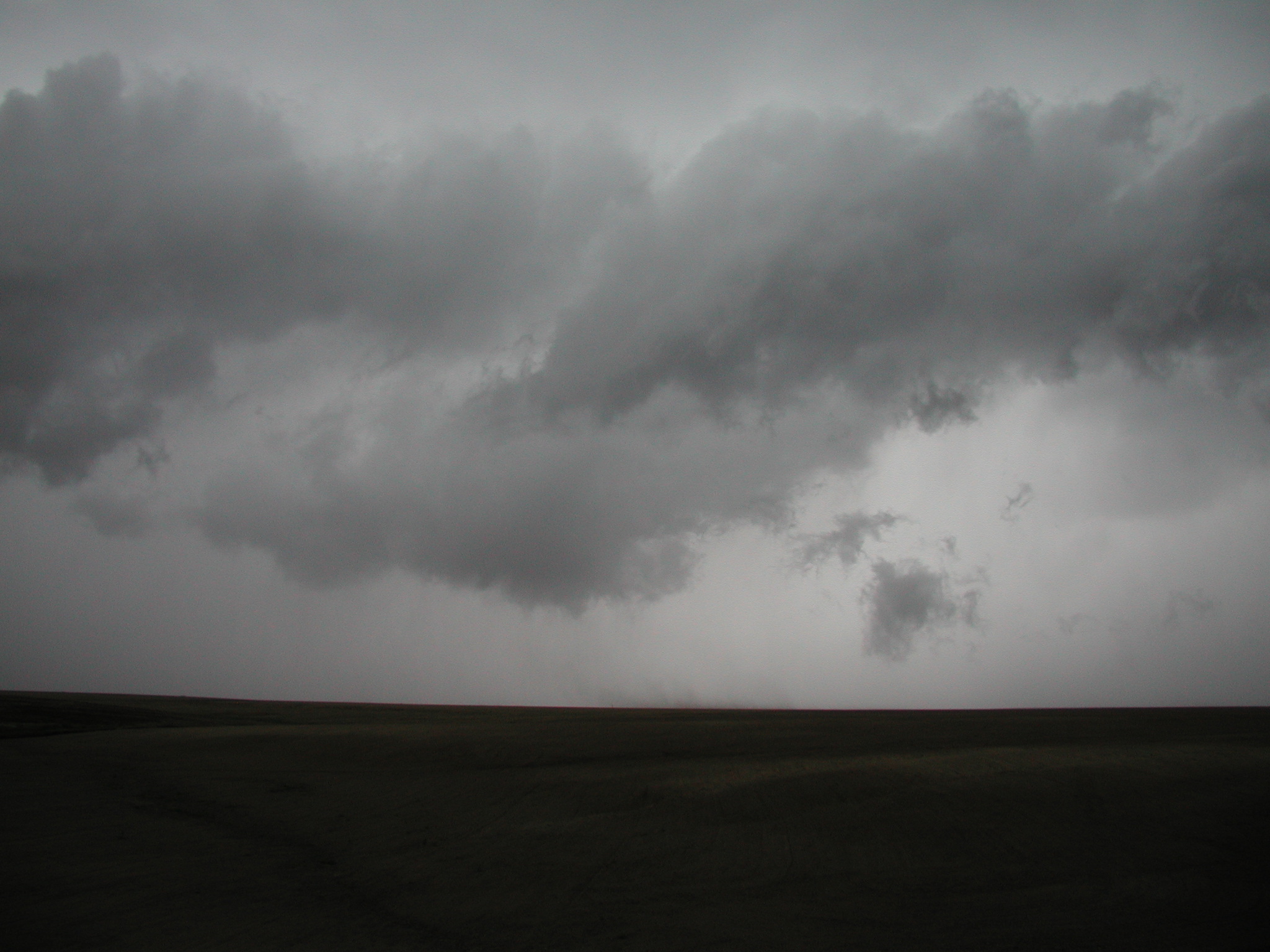
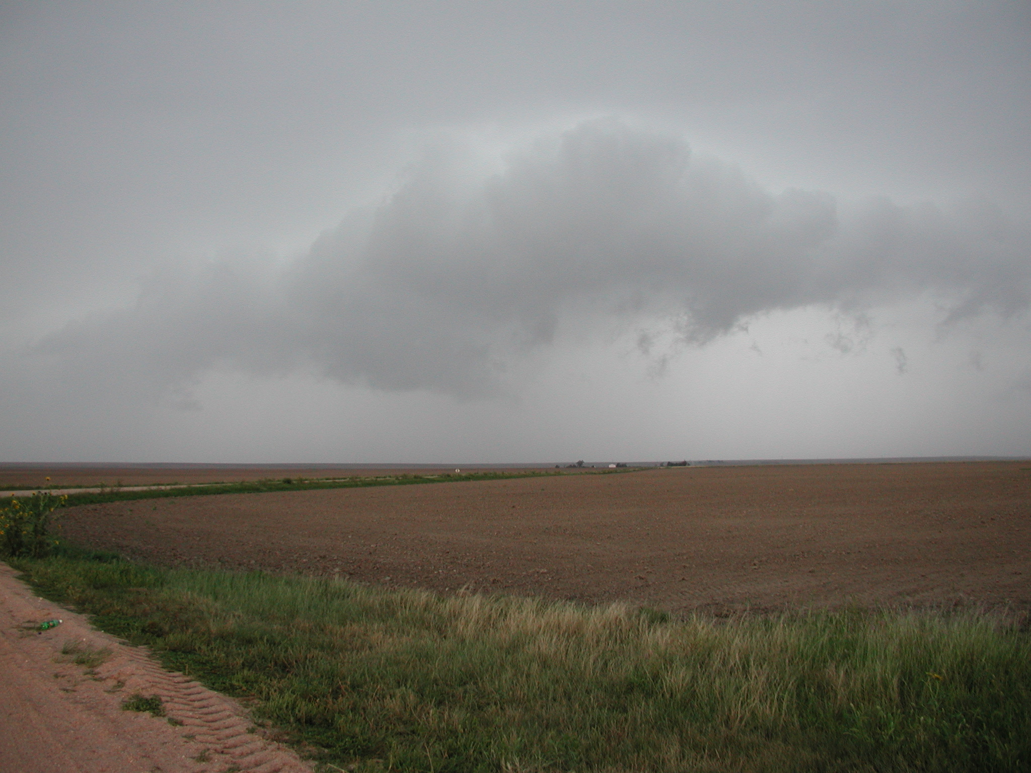
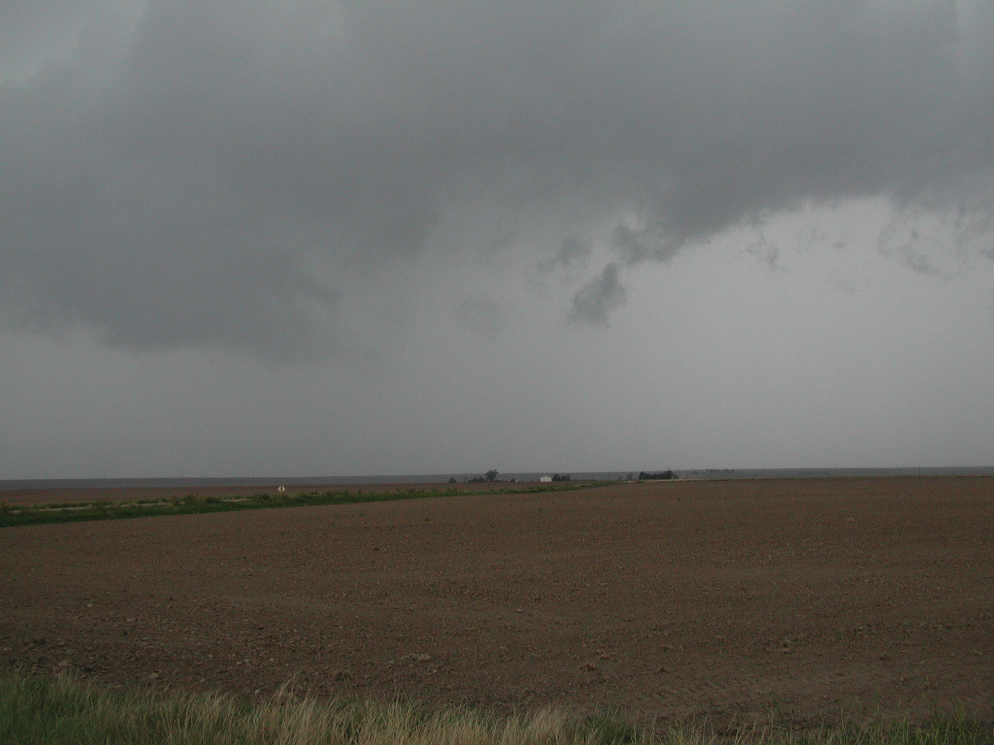
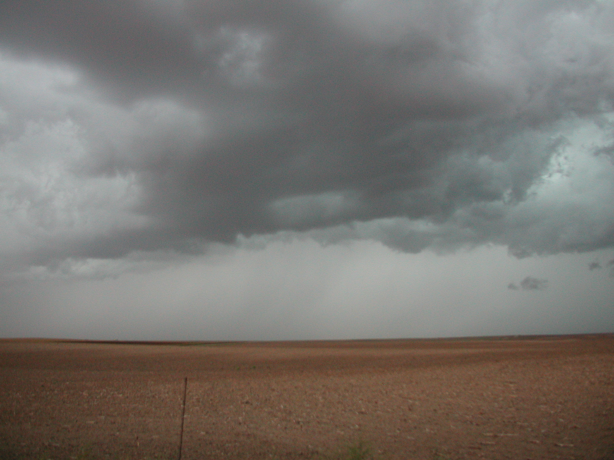
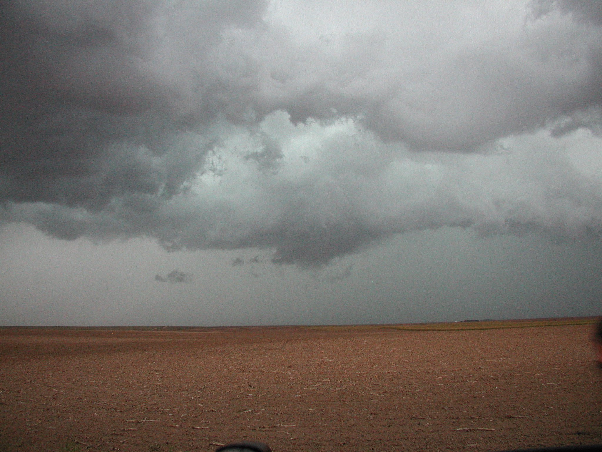
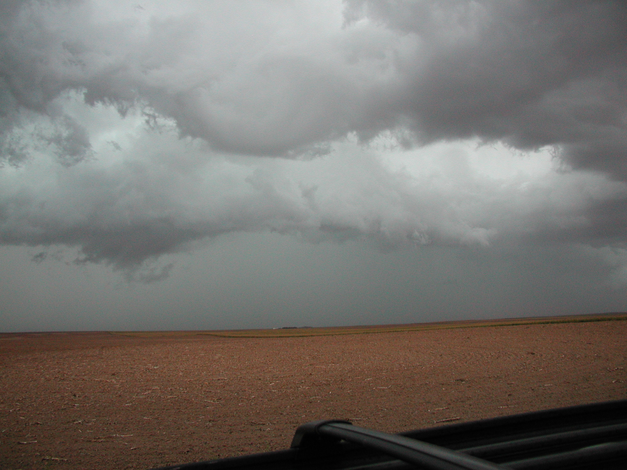
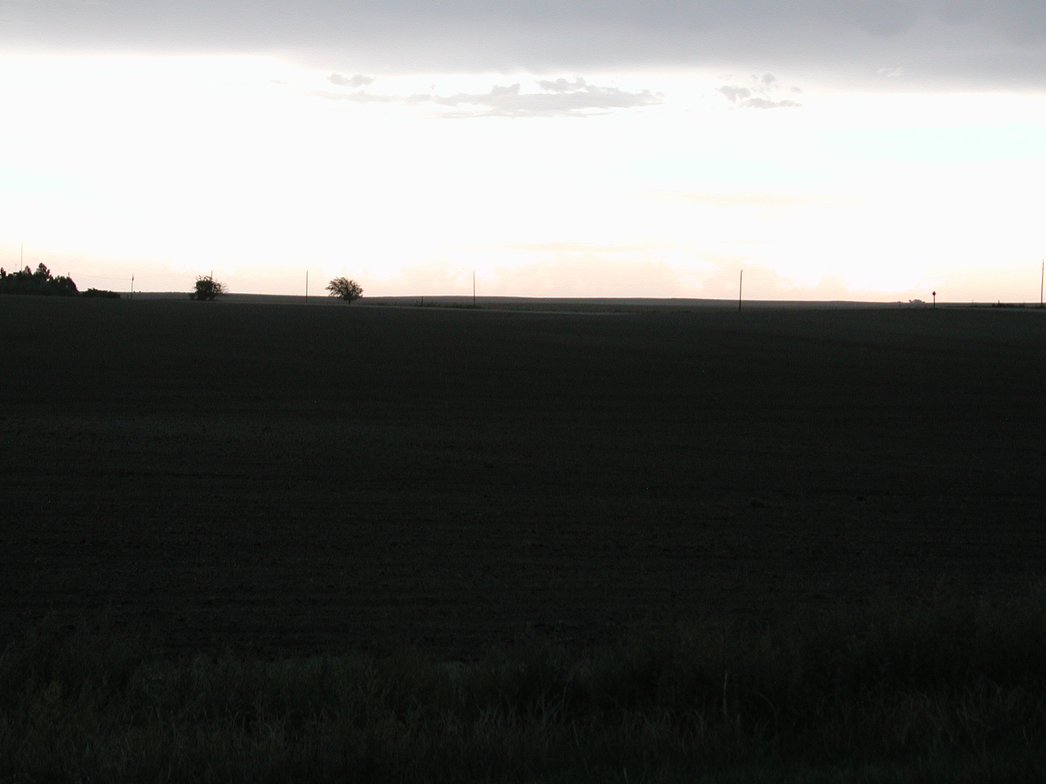
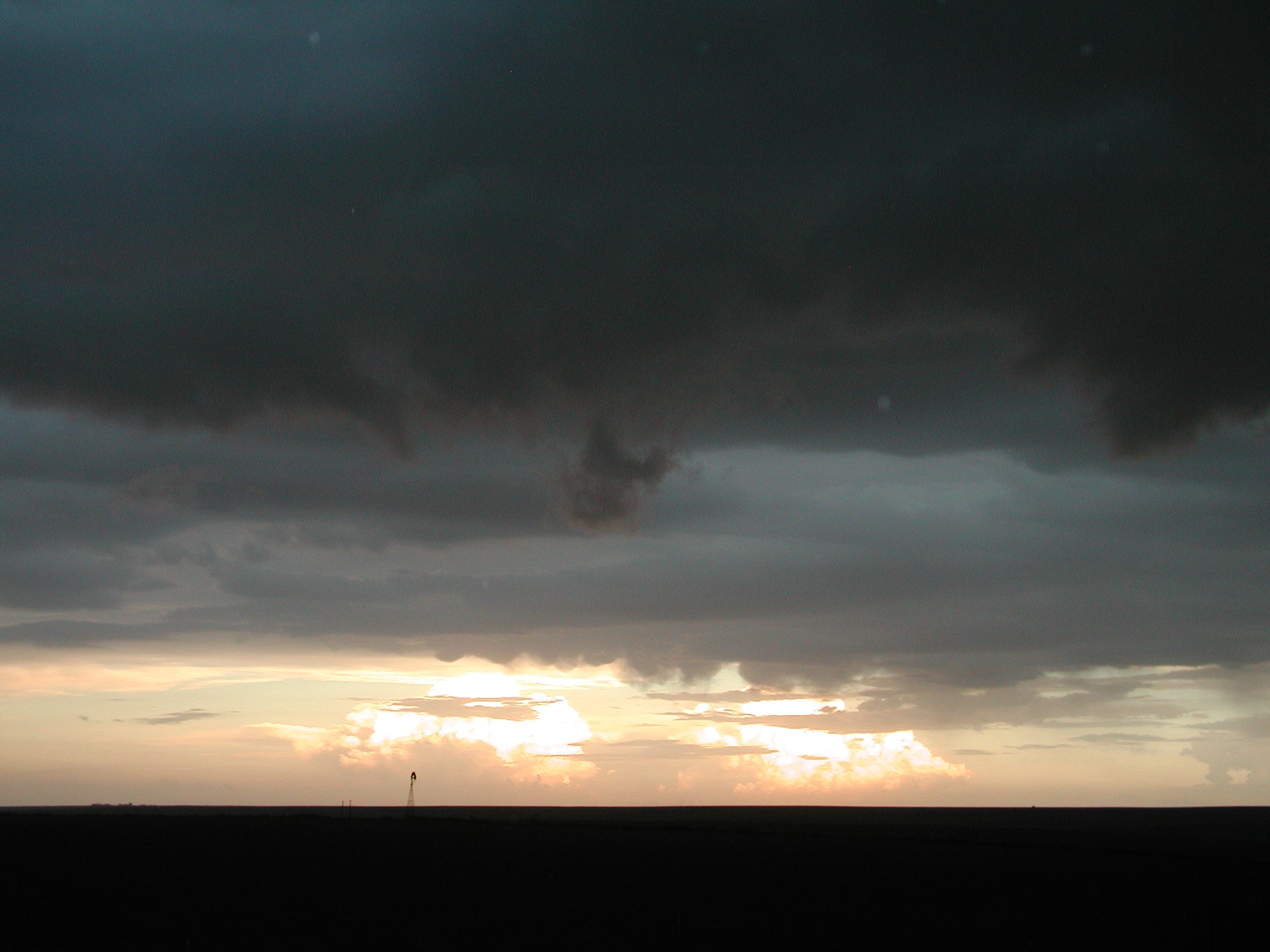
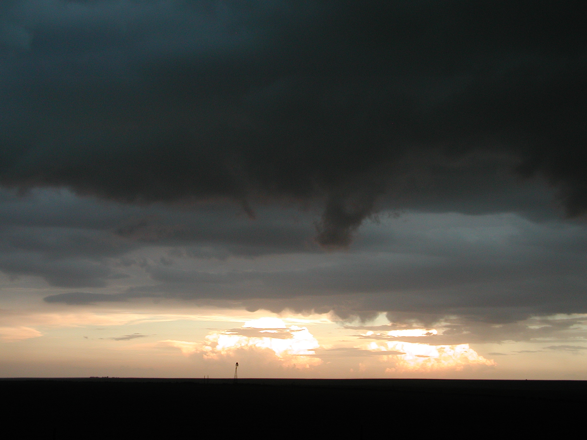
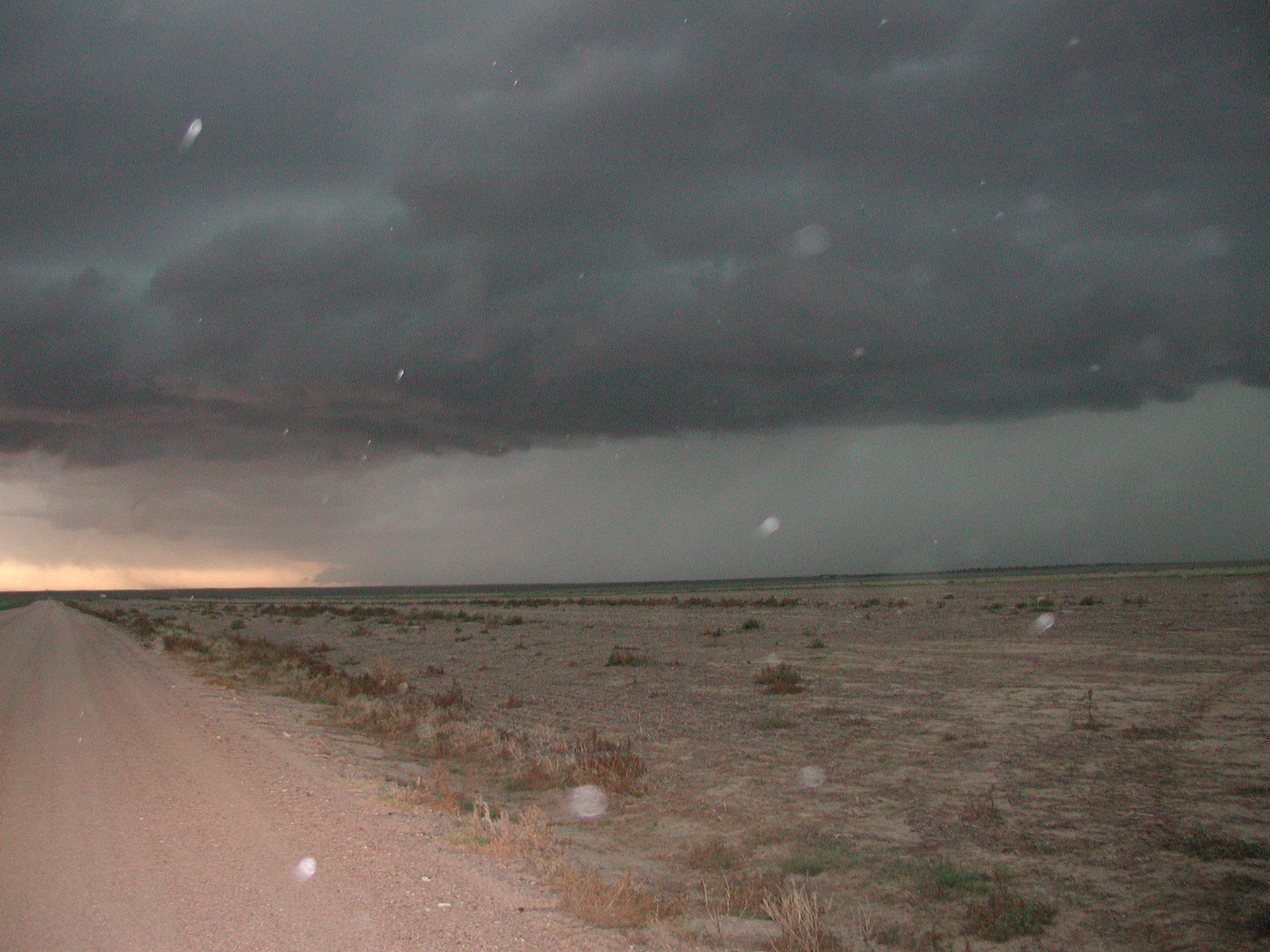
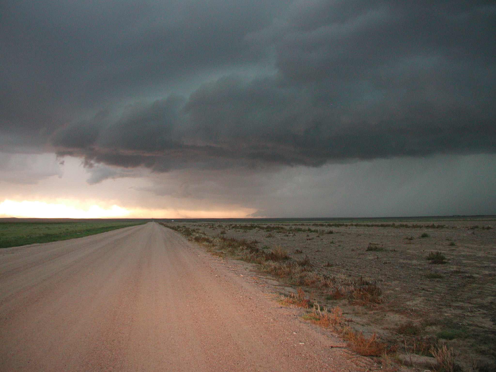
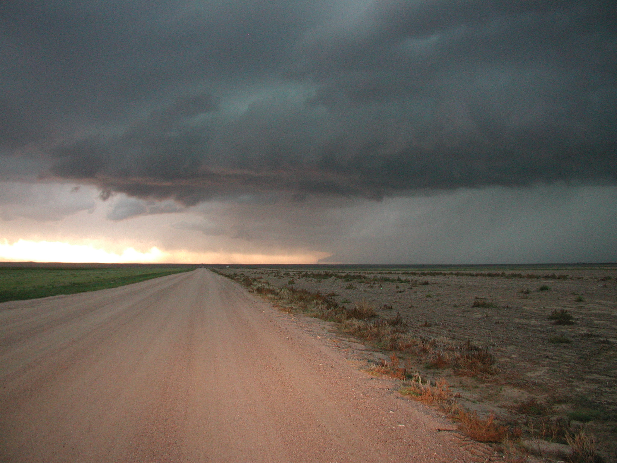
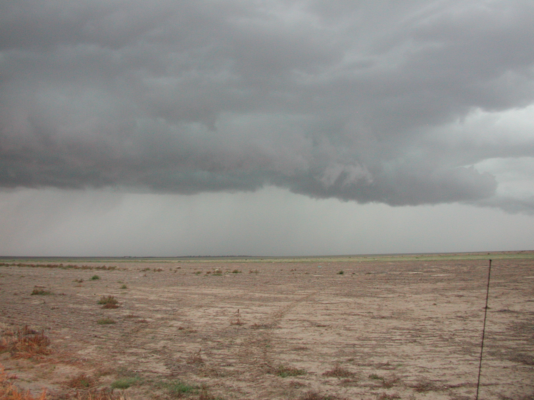
After punching through we saw some pretty cool looking cloud formations including some shelf cloud activity and swirling scud. We managed to stay ahead of the storm though it was coming almost due east toward us. I wanted to get south of it but roads are scarce out there and it continued to advance fairly rapidly.
As the storm got close we could see a lot of cloud motion but not much formed in terms of structured rotation. However, we DID see a couple of dust devils on the ground. They were fairly far away though and could have been gust front. I tried to get some photos and video but not sure they came out.
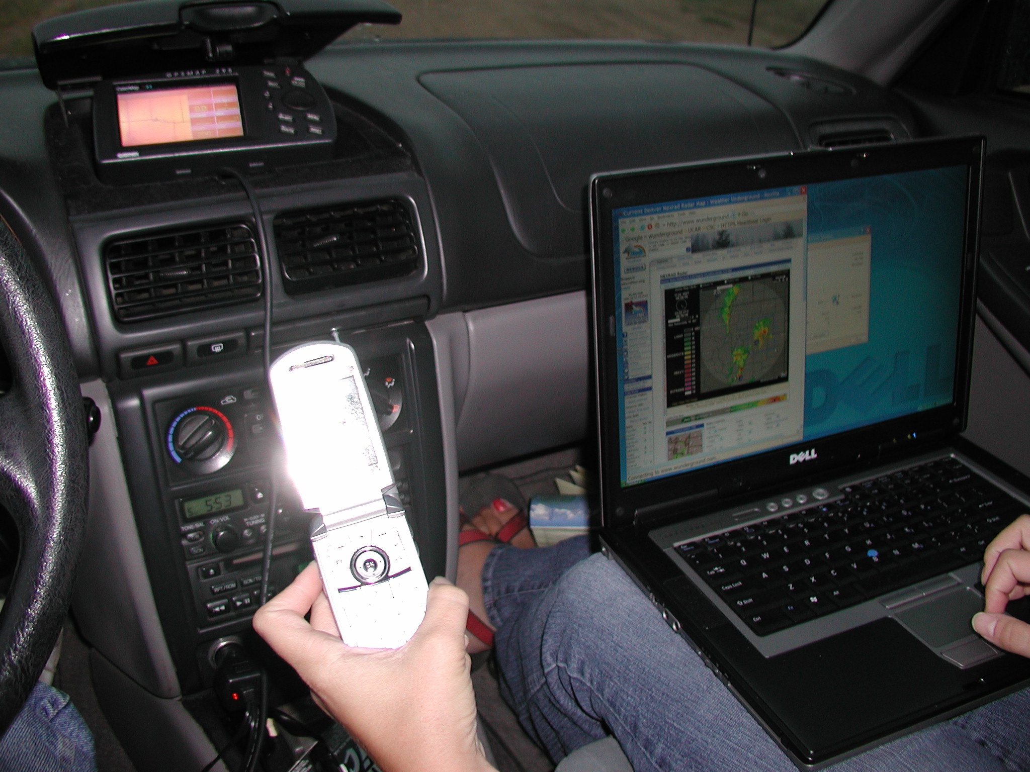
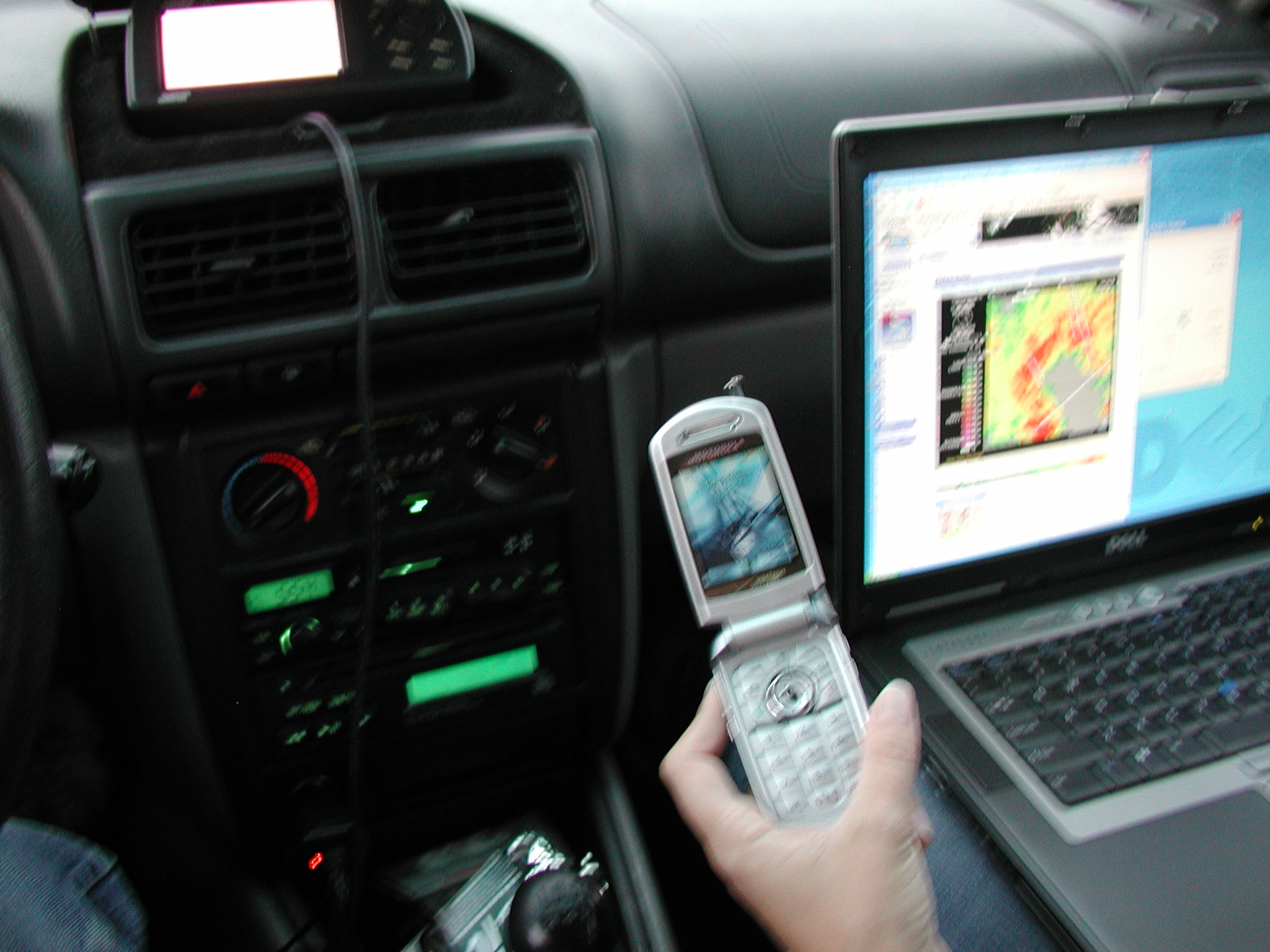
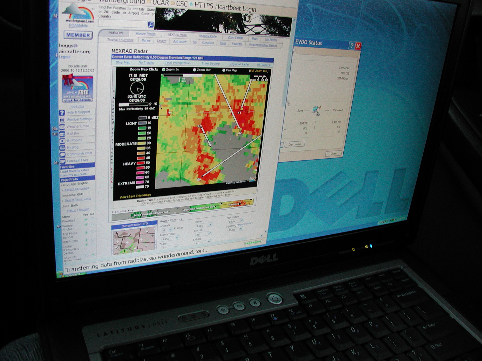
This was the first chase I took advantage of my cellular data service and was able to look at (near-)real-time radar and other info. While coverage was sparse at times, we usually weren't any more than 20 minutes without an update. I saved off some of the radar images of the storm while we were in the vicinity. Three separate cells colliding created some pretty interesting returns.
From: WUI
Subject: Alert:Limon, CO
Thunderstorm Warning
330 PM MDT Sat Aug 26 2006
The National Weather Service in Denver has issued a
* Severe Thunderstorm Warning for... northern Elbert County in east central Colorado eastern Arapahoe County in northeast Colorado until 430 PM MDT
* at 330 PM MDT...National Weather Service Doppler radar indicated a severe thunderstorm capable of producing quarter size hail. This storm was located 11 miles southwest of Deer Trail...or about 34 miles northwest of Limon...moving east at 25 mph.
* Locations in the warning include but are not limited to Deer Trail and Agate.
This warning replaces the earlier warning issued for northwest Elbert County.
Hail up to one inch in diameter along with very heavy rain has been reported with this storm.
Intense lightning is occurring with this storm. If outdoors...stay away from isolated high objects such as trees. Move indoors if possible. When indoors...stay away from windows and doors and avoid using telephones unless it is an emergency. Try to unplug unnecessary electrical appliances before the thunderstorm approaches. Remember... if you can hear thunder...you are in danger of being struck by lightning.
If you are caught outside...seek shelter from the weather in a strong building. Damaging wind...large hail...very heavy rain...and deadly lightning are all possible in severe thunderstorms. Stay inside away from windows until the storm has passed.
Lat...Lon 3964 10439 3938 10441 3944 10373 3974 10372
Expires:262230 gmt
VTEC:/O.NEW.KBOU.SV.W.0119.060826T2130Z-060826T2230Z/